Arlington County
Arlington, Virginia
The most urban part of Northern Virginia: a 26-square-mile county directly across the Potomac from Washington, with eleven Metro stations, walkable Metro corridors, and quiet single-family neighborhoods in between.
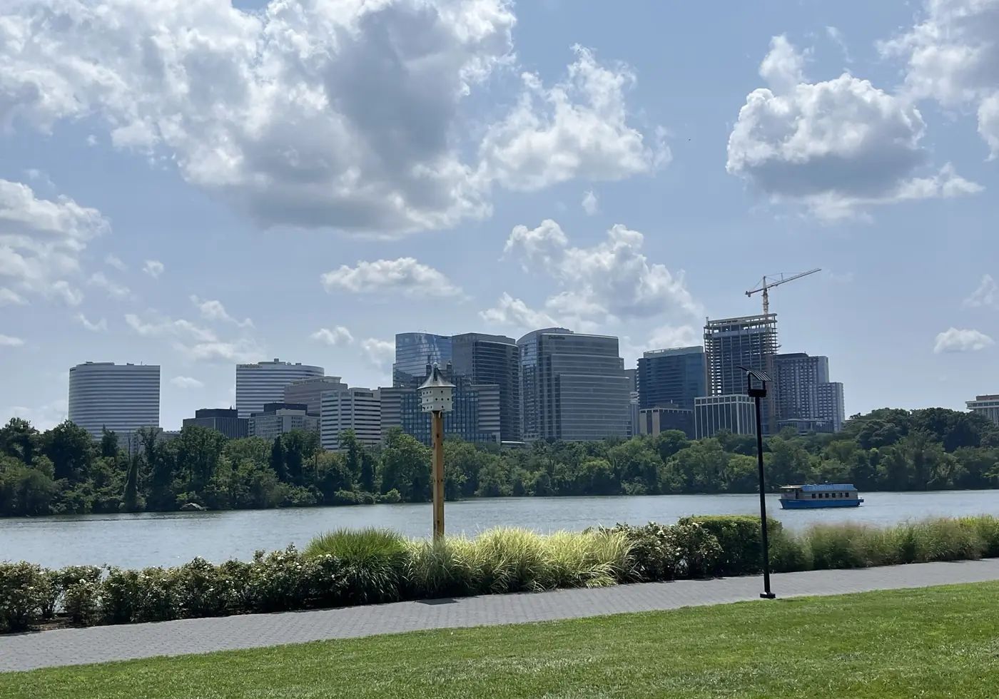
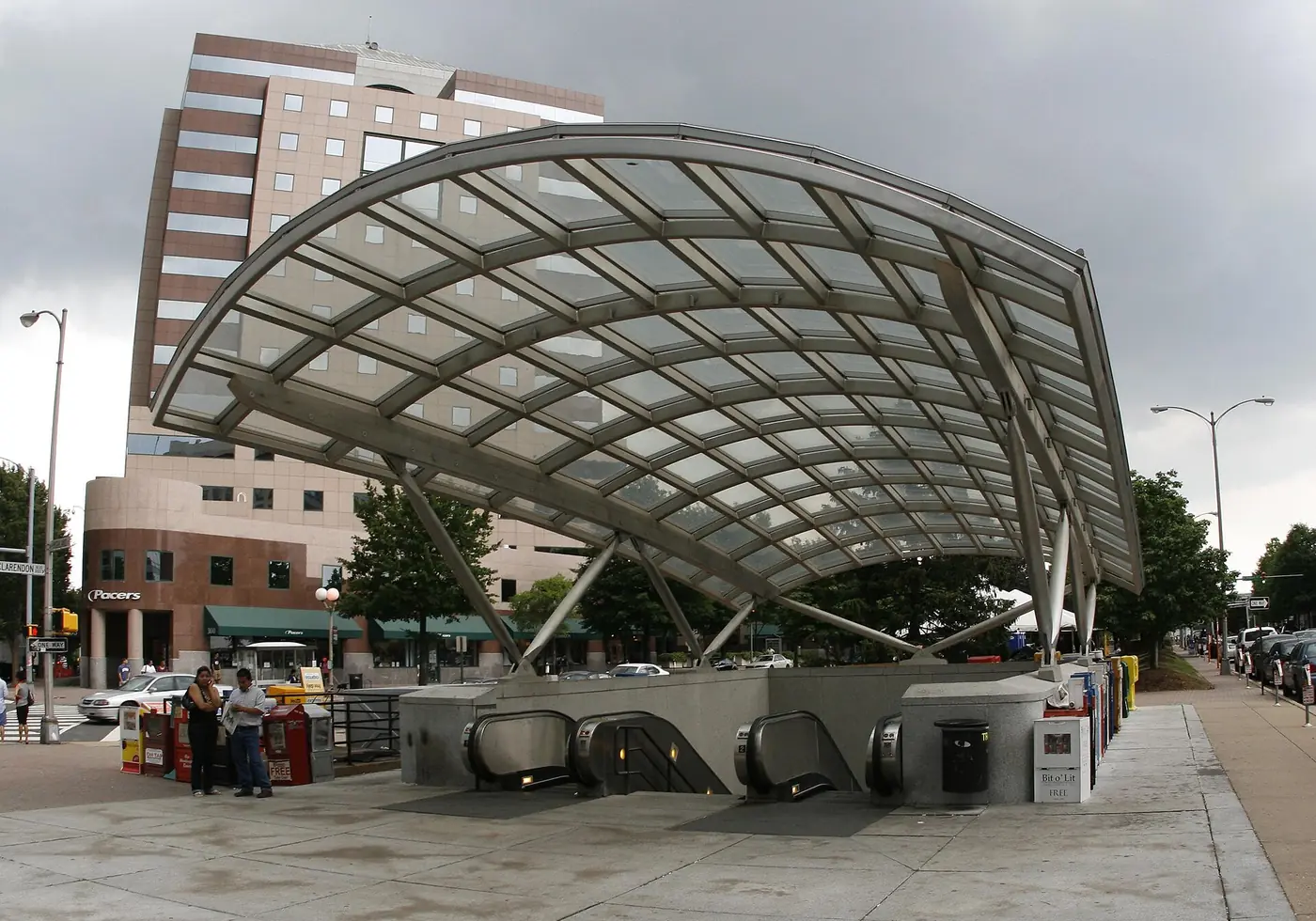
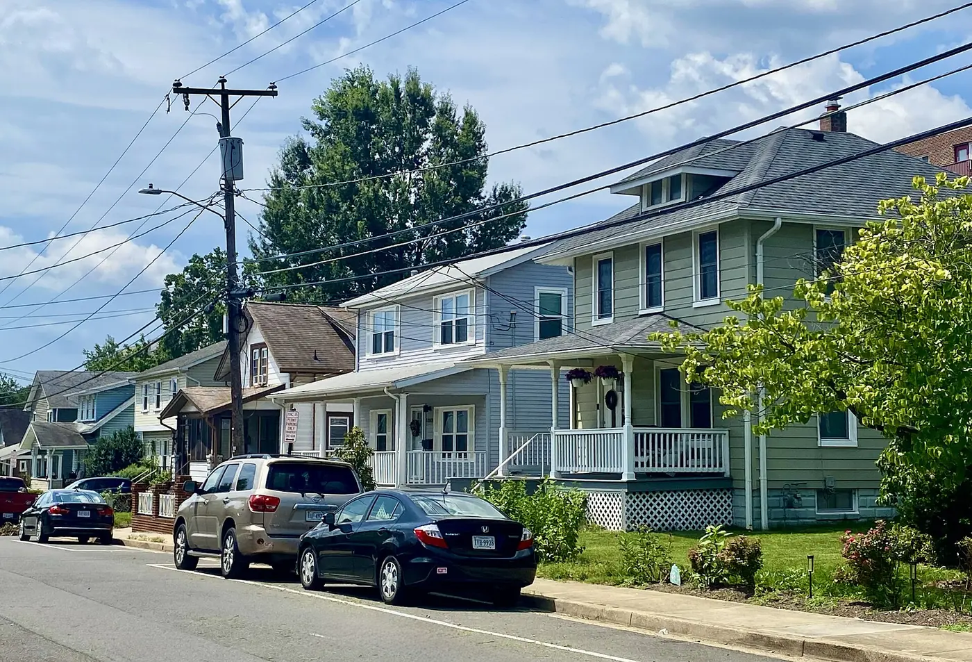
Arlington is where Northern Virginia stops being suburban. A 26-square-mile county directly across the Potomac from Washington, it has eleven Metro stations, a skyline of its own, and the Pentagon, Reagan National Airport, and Arlington National Cemetery inside its borders. It also has, tucked between the Metro corridors, some of the region’s most established single-family neighborhoods.
Two Metro corridors
Arlington’s planning since the 1970s has concentrated density around its Metro stations and protected the neighborhoods between them, and the result is easy to read on a map.
The Rosslyn–Ballston corridor follows the Orange and Silver Lines through five stations: Rosslyn, with its office towers and views of the District; Courthouse, the county’s civic center; Clarendon, the restaurant and nightlife hub; Virginia Square, quieter and residential; and Ballston, with a mall, offices, and a dense cluster of apartments. High-rise condos line the corridor, and within a few blocks the towers give way to single-family streets.
The Blue and Yellow Line corridor along Richmond Highway is Crystal City and Pentagon City, rebranded together with Potomac Yard as National Landing after Amazon chose the area for its second headquarters. Amazon’s first towers opened in 2023 and the area is still building. Reagan National Airport and the Pentagon are each one stop away.
The neighborhoods between
North Arlington’s single-family neighborhoods are the county’s other face. Lyon Village, Lyon Park, and Ashton Heights sit within walking distance of Clarendon and Virginia Square: early-20th-century bungalows and colonials, many expanded or replaced. Cherrydale and Westover lie along Langston Boulevard and Washington Boulevard, each with a small commercial strip, and East Falls Church has its own Metro station at the county’s western tip.
South Arlington has a different texture. Fairlington is 3,400 brick townhouses and apartments from the early 1940s, now condominiums and a National Register historic district. Next door, the Village at Shirlington offers restaurants, a theater, and apartments along I-395. Aurora Highlands and Arlington Ridge are single-family and duplex neighborhoods on the rise above Crystal City. Columbia Pike, South Arlington’s main street, runs through garden apartments, condos, and single-family blocks and has been redeveloping steadily, though it remains the one major corridor without a Metro station.
Getting around
Eleven Metro stations cover most of the county, and I-66, I-395, Route 50, and the George Washington Parkway carry drivers into the District and out to the region. Reagan National Airport is in the county. Arlington is also among the most bike-friendly places in Virginia, with the Custis, W&OD, Four Mile Run, and Mount Vernon trails all passing through.
Schools
Arlington Public Schools is an independent system, not part of Fairfax County. Three comprehensive high schools serve the county, Yorktown in the north, Washington-Liberty in the center, and Wakefield in the south, alongside option programs such as H-B Woodlawn and Arlington Tech. Zones are neighborhood-based and adjusted periodically, so confirm any address with APS.
Buying or selling here
Arlington buyers are paying for location, and the calculation is usually about the walk to a station, the school zone, and how much house the budget allows in a market where a modest lot can carry a large price. Condos near the stations offer the most attainable entry; single-family homes in the North Arlington neighborhoods are the premium tier; Fairlington and the South Arlington duplexes and townhouses sit in between. Sellers benefit from a market with deep, steady demand, and from presenting the walkability and transit access that buyers came for.
Guides to individual neighborhoods
Arlington is large enough that its submarkets behave differently from one another. Each of these has its own guide:
- The Rosslyn–Ballston corridor — five Metro stations in two miles.
- National Landing — Crystal City and Pentagon City.
- Arlington Ridge and Aurora Highlands — the hill above the Pentagon.
- Columbia Pike — the county’s most affordable corridor.
- Shirlington and Fairlington — a village center and a 1940s garden community.
- Westover and Cherrydale — North Arlington’s village centers.
Communities in Arlington
- Rosslyn–Ballston corridor
- Rosslyn, Courthouse, Clarendon, Virginia Square, and Ballston — high-rise condos and apartments clustered around five Orange/Silver Line stations, with restaurants and shops at street level. Arlington's densest, most walkable neighborhoods.
- Crystal City, Pentagon City, and National Landing
- The Blue/Yellow Line corridor along Richmond Highway, home to Amazon's HQ2 and a wave of new residential towers; minutes from Reagan National Airport and the Pentagon.
- Lyon Village, Lyon Park, and Ashton Heights
- Early-20th-century single-family neighborhoods within walking distance of Clarendon and Virginia Square — bungalows and colonials on tree-lined streets, many expanded or rebuilt.
- Cherrydale, Westover, and East Falls Church
- North Arlington neighborhoods along Lee Highway (Langston Blvd) and Washington Blvd — established single-family homes, small commercial strips, and the East Falls Church Metro station.
- Fairlington and Shirlington
- South Arlington: Fairlington's 1940s brick townhouse condominiums (a National Register district) and the Village at Shirlington's restaurants, theater, and apartments along I-395.
- Aurora Highlands and Arlington Ridge
- Single-family and duplex neighborhoods on the hill above Crystal City and Pentagon City, close to the Blue/Yellow Line stations and the airport.
- Columbia Pike
- South Arlington's main street — garden apartments, condos, and single-family neighborhoods along a bus-served corridor that has been redeveloping steadily, without a Metro station.
Schools
Arlington Public Schools (APS) is its own system, separate from Fairfax County. Three comprehensive high schools — Yorktown, Washington-Liberty, and Wakefield — serve the county, plus option programs. Attendance zones are drawn by neighborhood and are adjusted periodically, so confirm the current assignment for a specific address with APS.
Commuting
Arlington has eleven Metro stations: five on the Orange/Silver Line through the Rosslyn–Ballston corridor plus East Falls Church, and Pentagon, Pentagon City, Crystal City, and Reagan National Airport on the Blue/Yellow Line, with Arlington Cemetery on the Blue Line. I-66, I-395, Route 50, and the George Washington Parkway connect to the District and the rest of the region. Reagan National Airport is inside the county.
Market
Arlington is the closest-in, most transit-served part of Northern Virginia, and its market reflects that: condos and apartments dominate near the Metro stations, single-family homes in the neighborhoods between them command a premium for the location, and 1940s duplexes and townhouse condos like Fairlington fill the middle. Buyers here are choosing walkability and proximity to Washington over square footage, and the difference between being a five-minute walk from a station and a fifteen-minute walk shows up in price.
Common questions
Is Arlington a city or a county?
A county, though it functions like a city. At 26 square miles it is the smallest self-governing county in the United States, with no separate towns inside it. It has its own school system (Arlington Public Schools), its own government, and is completely separate from Fairfax County.
Which Metro lines serve Arlington?
The Orange and Silver Lines run through the Rosslyn–Ballston corridor (Rosslyn, Courthouse, Clarendon, Virginia Square, Ballston) and East Falls Church. The Blue and Yellow Lines serve Pentagon, Pentagon City, Crystal City, and Reagan National Airport, and the Blue Line stops at Arlington Cemetery. Eleven stations in all.
What is National Landing?
The name adopted for the Crystal City, Pentagon City, and Potomac Yard area after Amazon chose it for its second headquarters in 2018. Amazon's first office towers opened in 2023, and the area has seen a wave of new residential buildings, retail, and a Virginia Tech campus just south in Alexandria.
What is Fairlington?
A community of about 3,400 brick townhouses and apartments built in the early 1940s for wartime workers, converted to condominiums in the 1970s, and listed on the National Register of Historic Places. It straddles the Arlington–Alexandria line near Shirlington and I-395, and is one of the more attainable ways to own in Arlington.
What are property taxes like in Arlington?
Arlington sets its own real estate tax rate, separately from Fairfax County and Alexandria, and the rate changes with the annual budget. Because assessments track the county's high values, the tax bill on a comparable home is often higher than in the outer suburbs. Check the current rate and the specific assessment for any property under consideration.
Current Arlington listings are available through my search site.
Last updated 2026-09-07.